
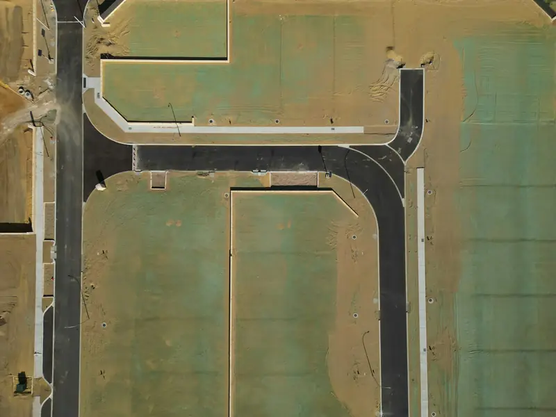
Example: General contractor
Monthly updates for lenders and investors
A builder schedules a monthly flyover and shares matched-angle photos with the lender and investors, so everyone sees progress without a site visit.
Scheduled flyovers from the same angles every visit, so you can see exactly what changed and prove it.
Progress photos are most valuable when they line up. We repeat the same viewpoints and heights on each visit, building a consistent visual timeline from site prep to final walkthrough. That makes it simple to compare dates, answer questions about what was done when, and keep remote stakeholders in the loop.
We'll help you choose the cadence that fits the project and budget.
Imagery is for visual documentation; projects needing certified survey data should use a licensed surveyor.
Wind, rain, smoke, and low visibility can delay a flight. When that happens, we reschedule promptly and keep your timeline as consistent as possible.
Use Cases
Example scenarios — not customer reviews.
Example: General contractor
A builder schedules a monthly flyover and shares matched-angle photos with the lender and investors, so everyone sees progress without a site visit.
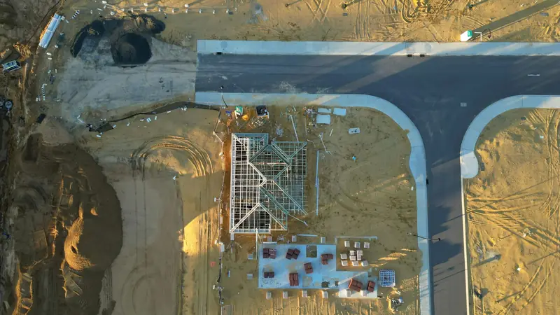
Example: Project owner
When a question comes up about when work was completed, a date-organized archive of progress photos makes the answer easy to find.